content="https://chashma-sar.com/images/cover.jpg">
Chashma-Sar operates Afghanistan's multi-hazard climate and water intelligence platform — 51 satellite-based indices covering all 34 provinces and 400+ districts. We deliver climate vulnerability assessments, disaster risk reduction, water resources management, hydrological modelling, and remote sensing analysis for UN agencies, INGOs, government, and the private sector.
Eight main service areas designed to meet diverse environmental, engineering, and research needs across Afghanistan.
IPCC vulnerability framework implementation, community-level climate risk analysis, gender-sensitive climate impact studies, and multi-provincial research capabilities.
Comprehensive groundwater and surface water assessment, mapping, and sustainable management solutions using advanced GIS and remote sensing technologies.
Multi-hazard risk assessment covering floods, droughts, avalanches, landslides, and extreme weather events with early warning system development.
Building resilience through comprehensive structural assessments, seismic vulnerability evaluation, and earthquake-resistant design recommendations.
Empowering communities with emergency planning, early warning systems, participatory risk mapping, and capacity building programs.
State-of-the-art hydrological modeling using RS MINERVE, HEC-RAS, WEAP, and other international standard methodologies.
Professional land surveying using Total Station, GPS/GNSS positioning, digital instruments, topographic mapping, construction layout, engineering design, and boundary demarcation services.
Statistical analysis using SPSS, R, Python, data visualization, survey research, GIS training, technical skills transfer, and institutional capacity development programs.
When Afghanistan faces its greatest environmental challenges, organizations turn to Chashma-Sar for solutions that work in complex operational environments.
From university leadership to government advisory roles to international research partnerships — bridging academic excellence with practical policy implementation.
Recognized by VoA, The Guardian, RFE/RL, Afghanistan International TV, ToloNews, and 35+ media outlets as Afghanistan's leading voice on climate and environmental issues.
Building Afghanistan's technical capacity through partnerships with iMMAP, UNDP, and leading humanitarian organizations — training 200+ professionals.
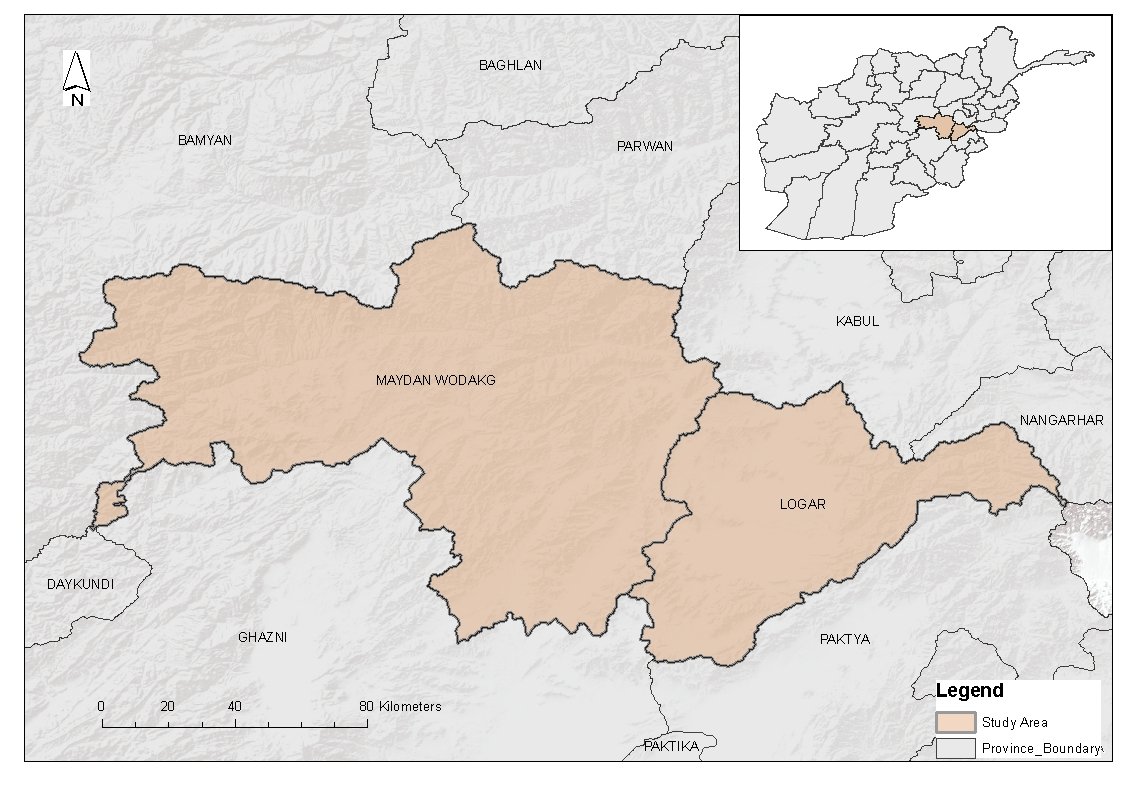
Investigating climate change impacts on women and children in Logar and Wardak provinces, Afghanistan. The 3-month study (September 9 – December 10, 2025) addresses critical knowledge gaps concerning climate-induced vulnerabilities among Afghanistan's most at-risk populations within the current complex cultural and governance context.
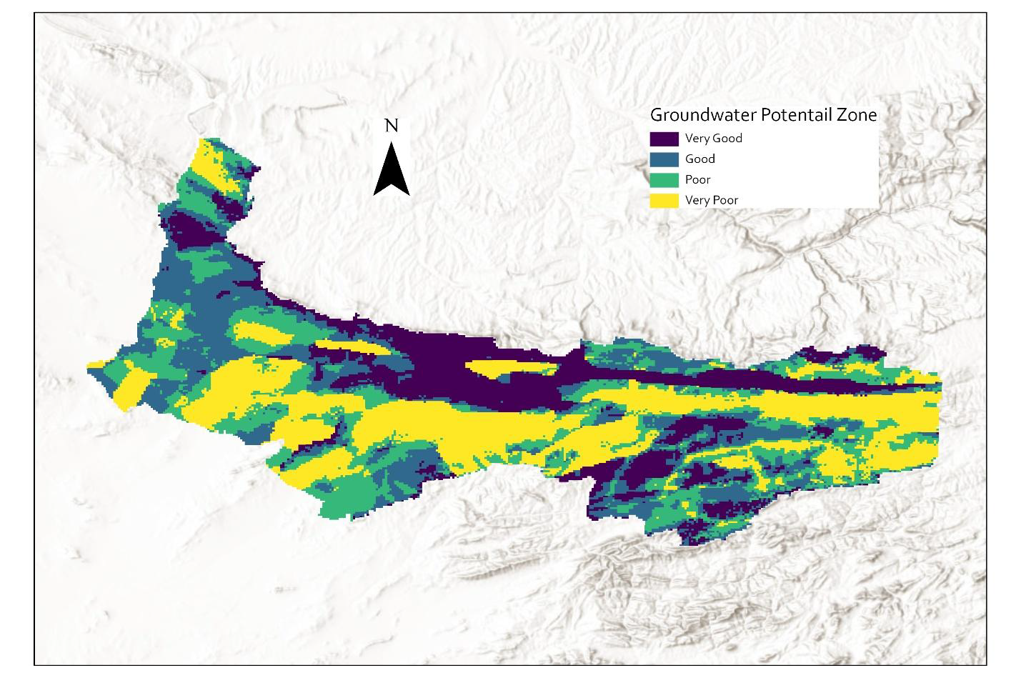
Technical report presenting methodology and results for identifying groundwater potential zones (GWPZ) in the Lower Hari-Rud River Basin, Afghanistan, using GIS and the Analytic Hierarchy Process (AHP). The study integrates seven thematic parameters to generate a comprehensive groundwater potential map for sustainable water resource management in this arid region.
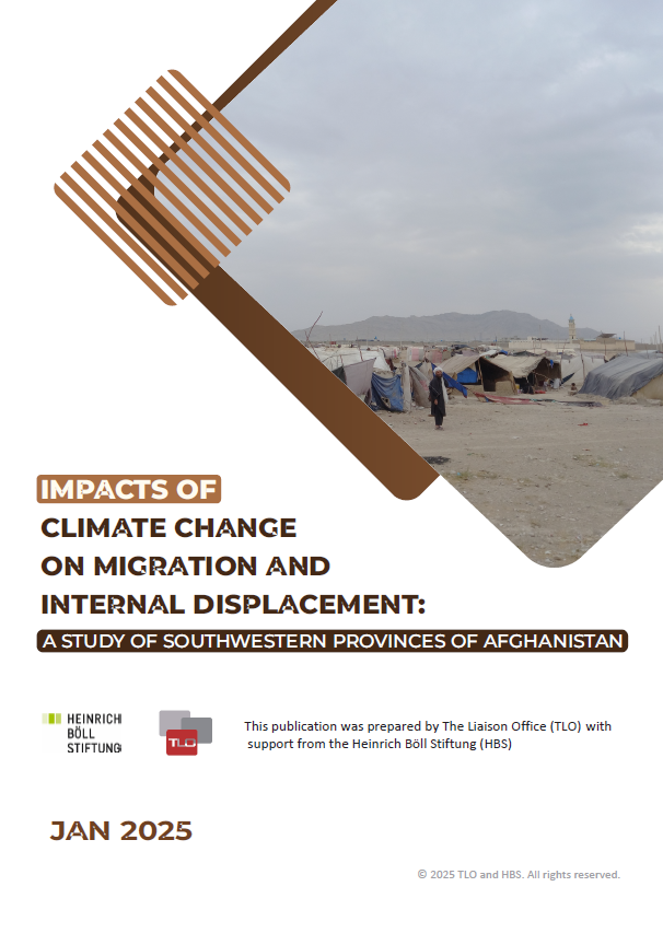
Originally published in English and funded by The Liaison Office (TLO), this research on climate-induced migration and internal displacement has been professionally translated into Farsi-Dari and submitted to the National Environmental Protection Agency (NEPA). This bilingual approach ensures critical findings reach Afghan policymakers, government agencies, and local communities in their native language.
Access Research
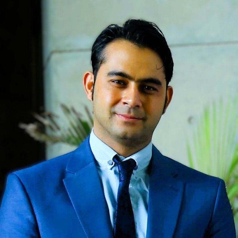
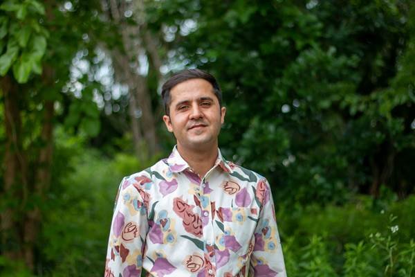
Master's in Water Engineering. Former Senior Advisor, State Ministry for Disaster Management. 400+ national/international media interviews.
LinkedIn
PhD Water Management (Texas A&M), PMP Certified. Expert in transboundary water management and policy development.
LinkedIn
Bachelor in Geological Engineering. Remote Sensing, GIS, IM, environmental and natural risk assessment, data analysis, visualization, infographics.
Bachelor in Water and Environmental Engineering. GIS and remote sensing, disaster risk reduction, hydrology, hydraulic structures, and graphic design.
Bachelor in Urban Planning, Advanced Diploma in Research Data Management. Spatial analysis and community surveys.
PhD in Civil Engineering with a Bachelor of Geology, specializing in GIS, Remote Sensing, and environmental risk assessment for water and mining infrastructure.
LinkedInWhether you need a comprehensive climate assessment, engineering support, or data analysis services, our team is ready to deliver expert solutions tailored to your project's requirements.
Request Technical Proposal → Email Us Directly →