Expert solutions for Afghanistan's most complex environmental, engineering, and surveying challenges
Our climate vulnerability assessments provide comprehensive analysis of climate risks and adaptation strategies using internationally recognized frameworks. We specialize in community-level assessments that inform policy and adaptation planning across Afghanistan.
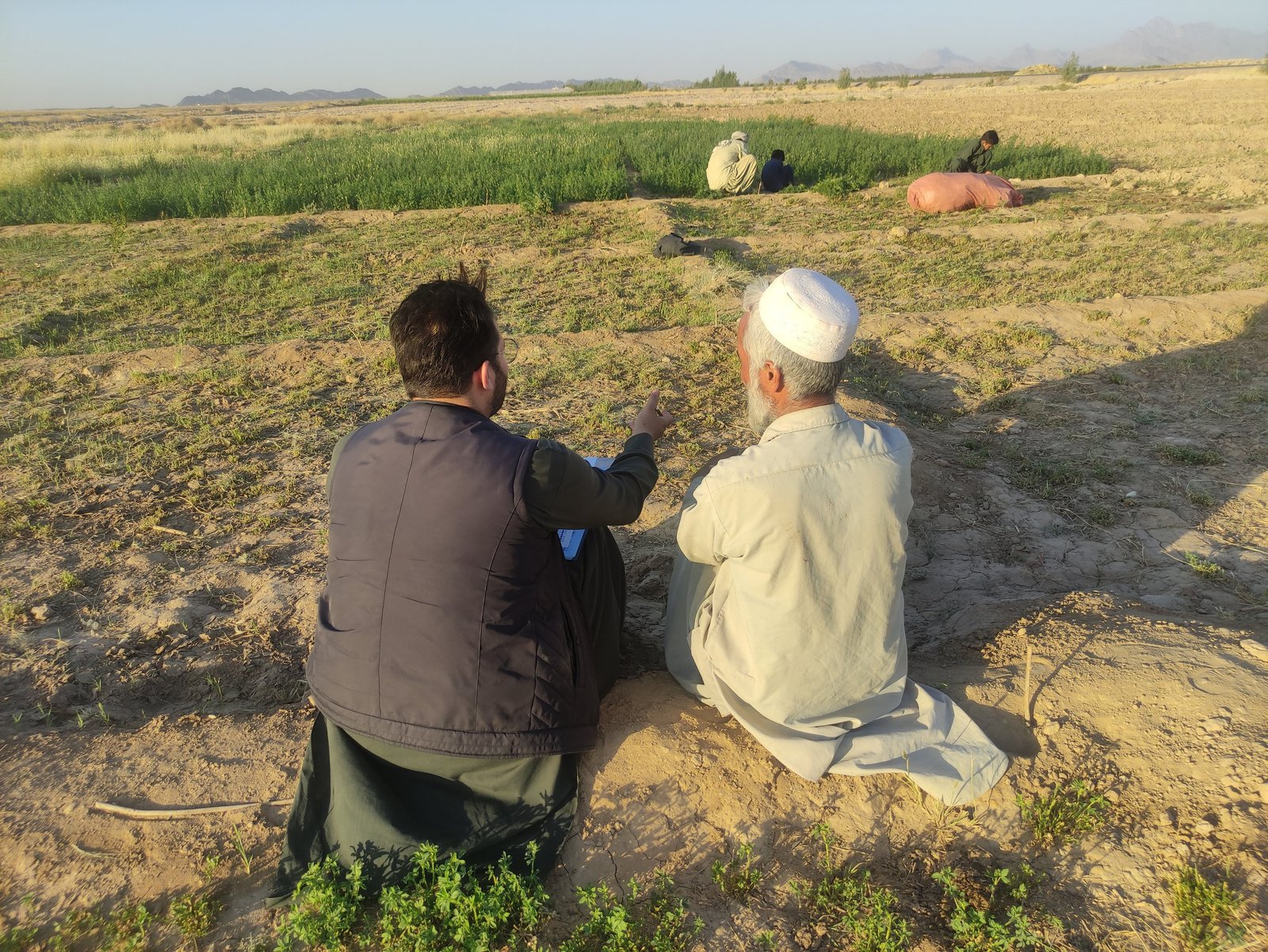
We apply the IPCC's vulnerability assessment framework, analyzing exposure, sensitivity, and adaptive capacity at multiple scales. Our assessments integrate climate projections with socioeconomic data to identify the most vulnerable populations and systems.
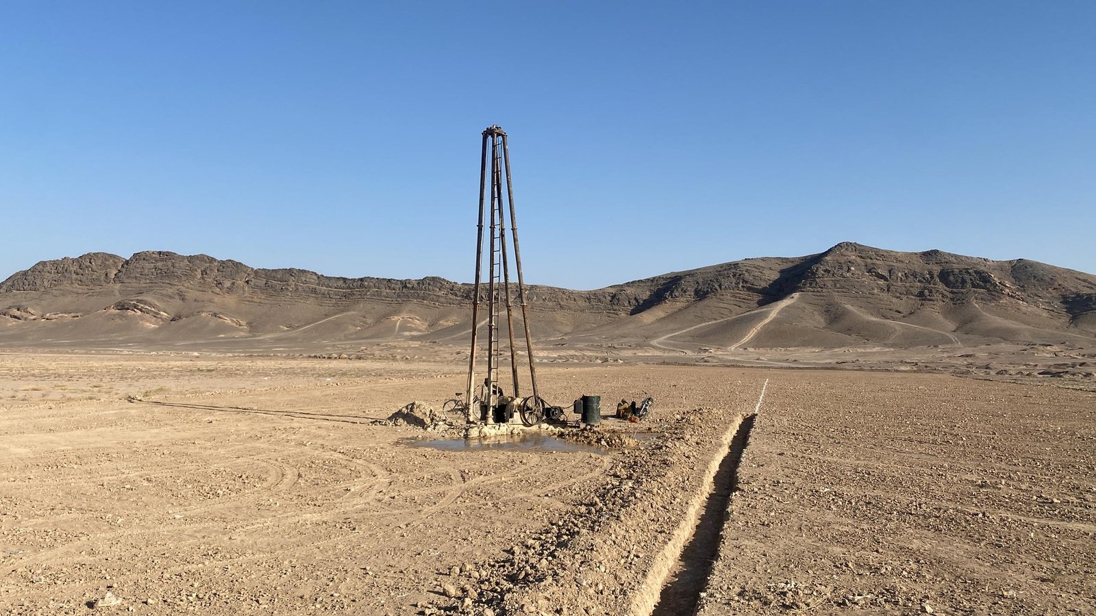
Comprehensive water resource assessment and management services covering both groundwater and surface water systems. We provide technical expertise in hydrogeological mapping, water quality assessment, and sustainable resource planning.
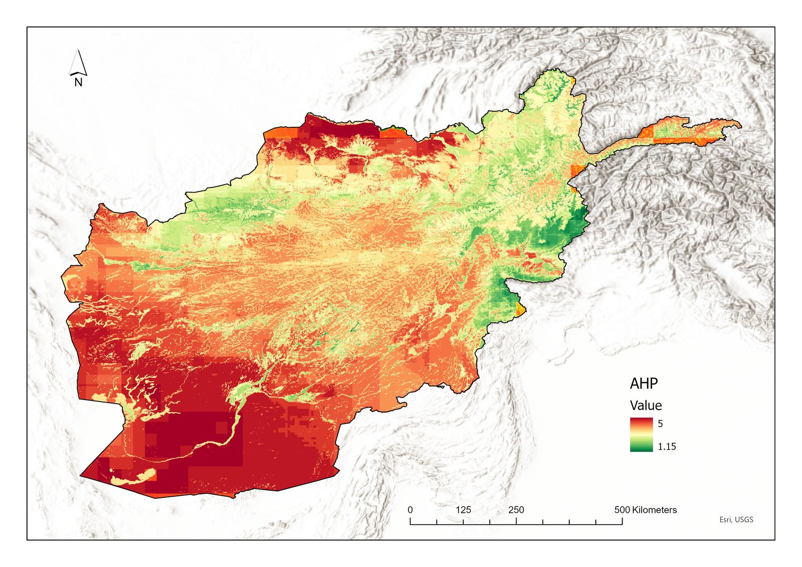
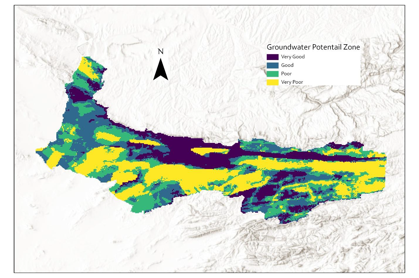
Using AHP (Analytical Hierarchy Process) and MAF (Multi-Attribute Functions) methodologies for groundwater potential mapping. Our approach integrates geological, topographical, climatic, and hydrogeological factors for accurate resource assessment.
Comprehensive natural hazard risk assessment covering floods, droughts, avalanches, landslides, and multi-hazard scenarios. We provide scientific analysis and practical solutions for hazard mitigation and preparedness.
Our approach integrates hazard identification, vulnerability analysis, and risk evaluation using probabilistic and deterministic methods. We combine historical data analysis with climate projections for forward-looking risk assessment.
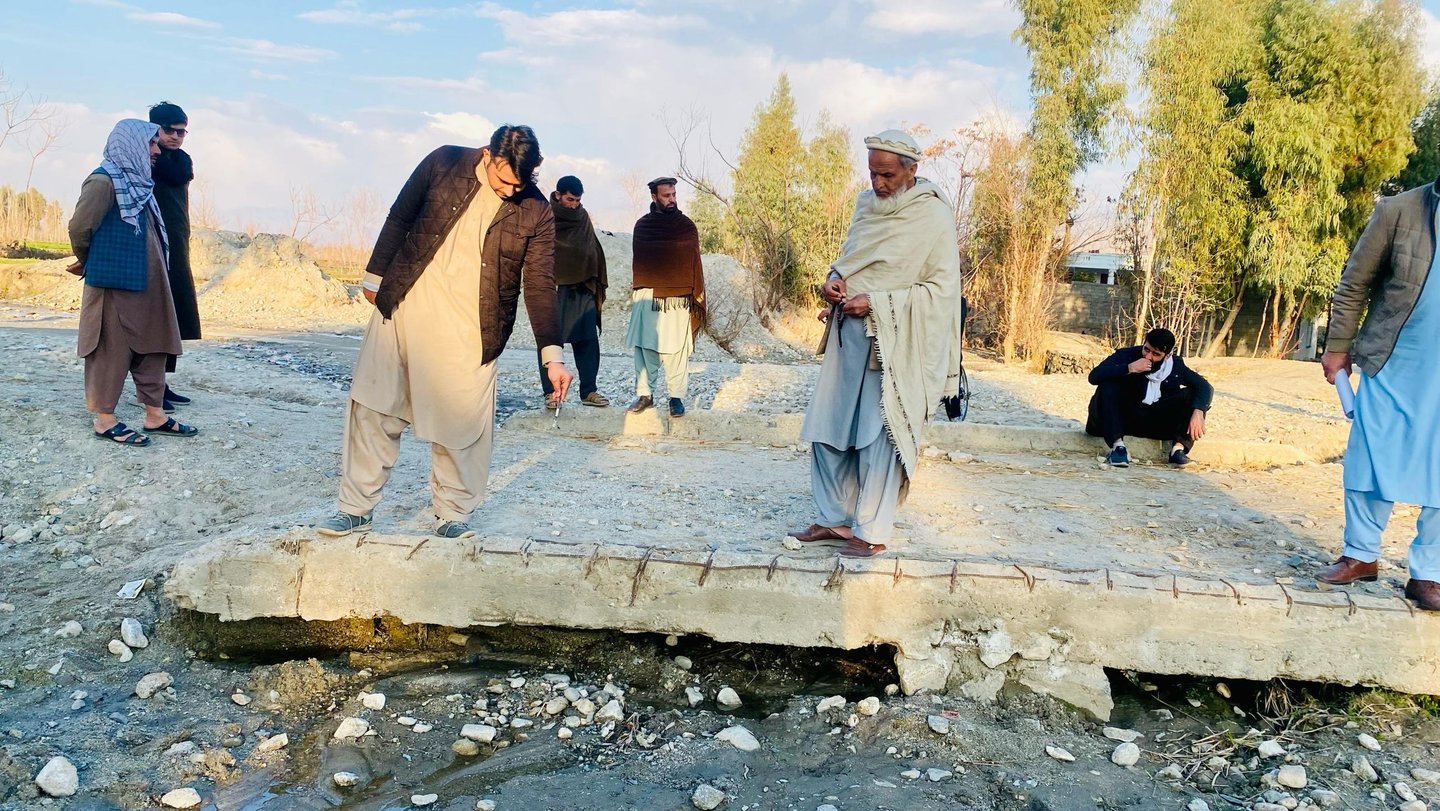
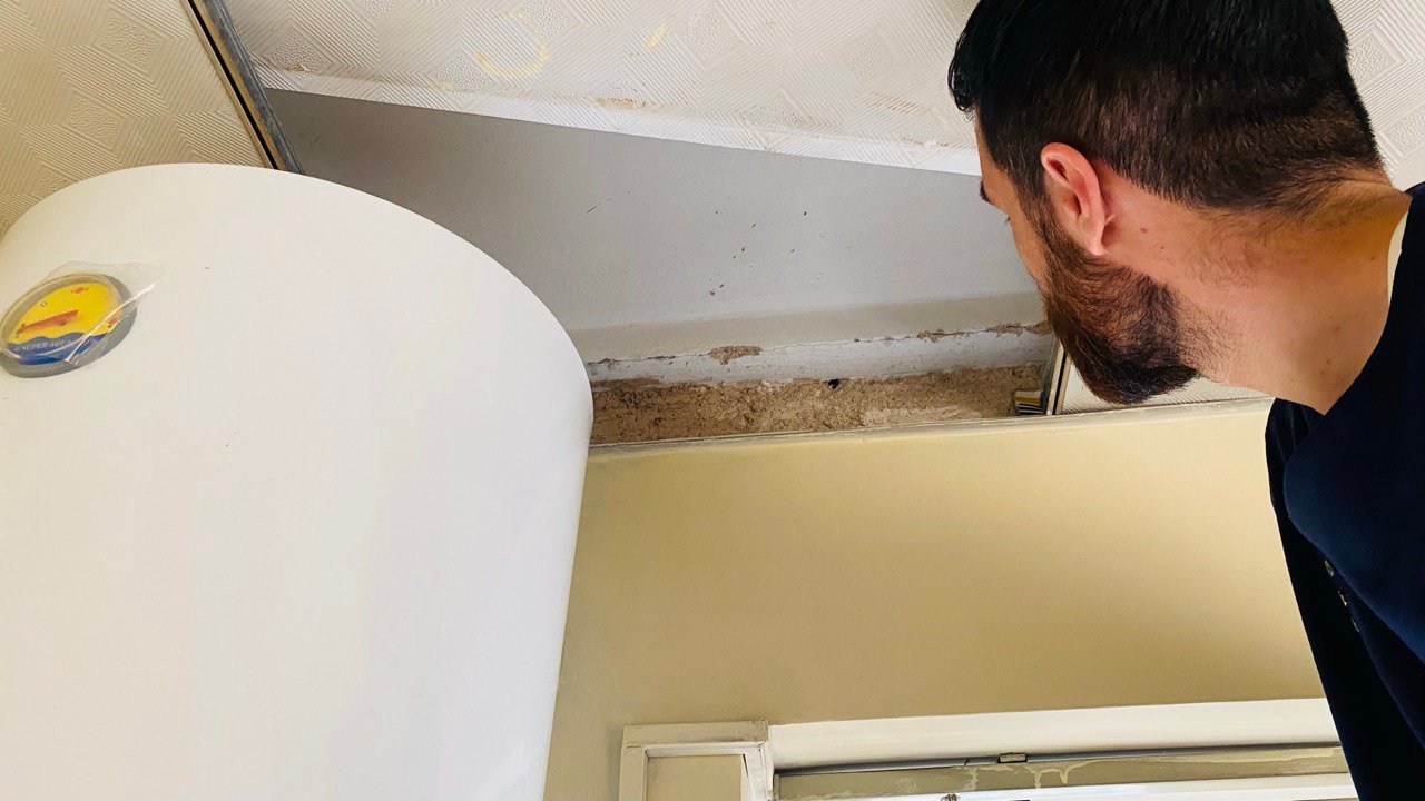
Professional structural assessment services focused on building resilience against seismic hazards. We provide comprehensive evaluation of existing structures and recommendations for earthquake-resistant design and retrofitting.
Our methodology combines structural engineering principles with seismic hazard analysis to evaluate building vulnerability. We assess structural systems, foundation conditions, and soil-structure interaction for comprehensive risk evaluation.
State-of-the-art hydrological modeling using international standard methodologies for comprehensive water resource analysis, flood forecasting, and drought management.
We utilize multiple modeling platforms to provide robust hydrological analysis, selecting the most appropriate tools based on project requirements, data availability, and specific watershed characteristics.
Professional land surveying and engineering services using advanced instruments and technologies for accurate spatial data collection, topographic mapping, and construction support across Afghanistan.
Our methodology combines structural engineering principles with seismic hazard analysis to evaluate building vulnerability. We assess structural systems, foundation conditions, and soil-structure interaction for comprehensive risk evaluation.
Advanced statistical analysis, survey research, and professional training programs that build technical capacity across Afghanistan's humanitarian and development sectors.
We combine rigorous data analysis methodologies with hands-on capacity building, ensuring that organizations not only receive high-quality analytical products but also develop internal technical capabilities.
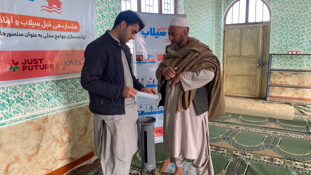
Empowering communities with emergency planning, early warning systems, participatory risk mapping, and capacity building programs to build local resilience against natural hazards.
We design and implement Community-Based Disaster Risk Management (CBDRM) programs that empower local populations to understand their risks, prepare for emergencies, and respond effectively when disasters strike. Our approach centers community knowledge and ensures sustainability beyond the project period.
Submit a technical enquiry and our team will respond with a tailored proposal within 48 hours.