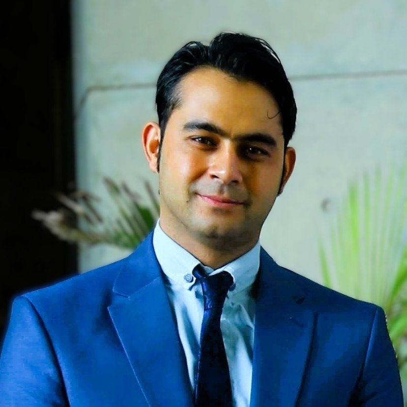
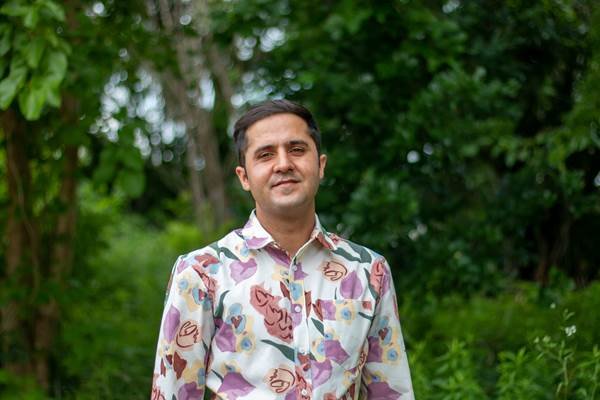
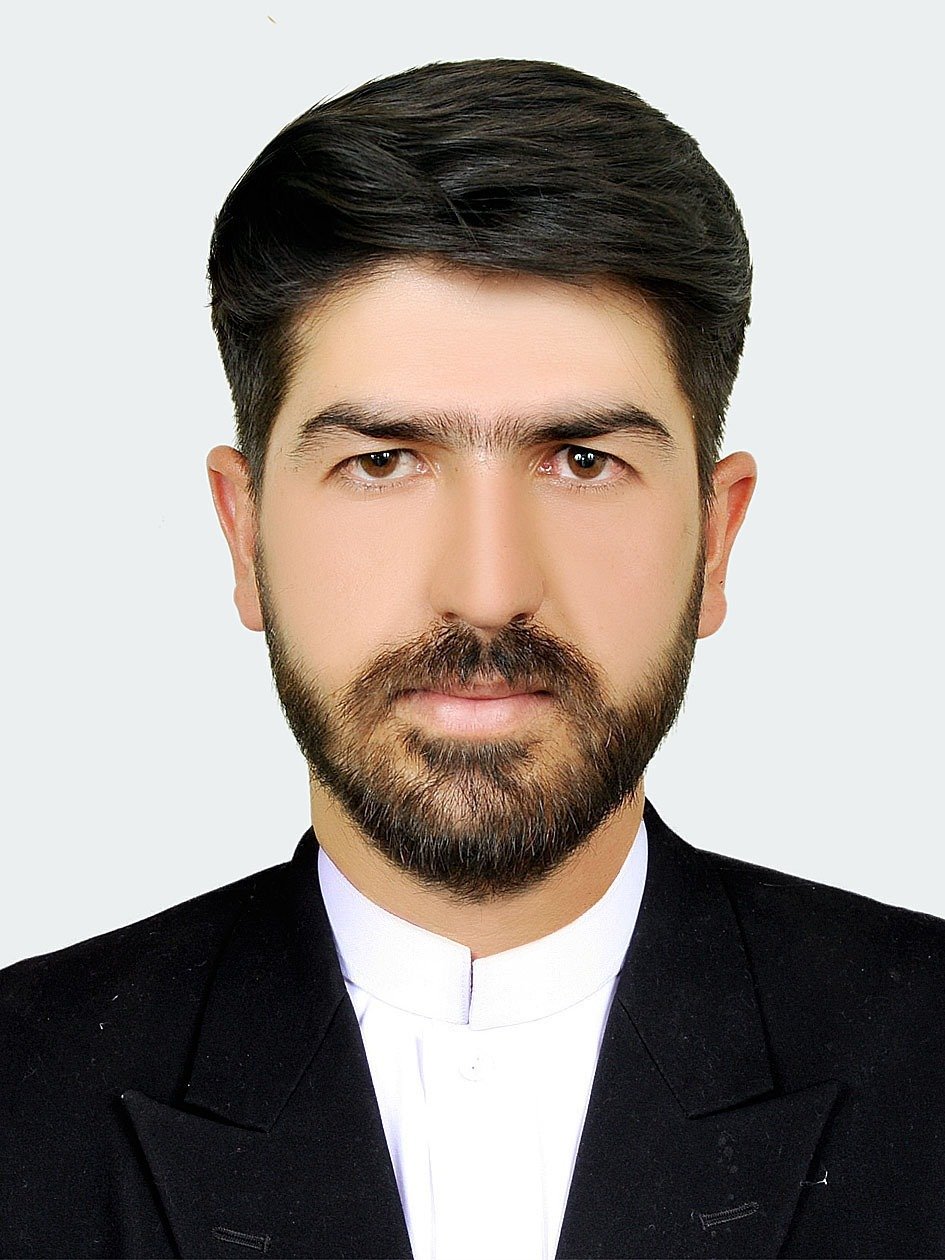
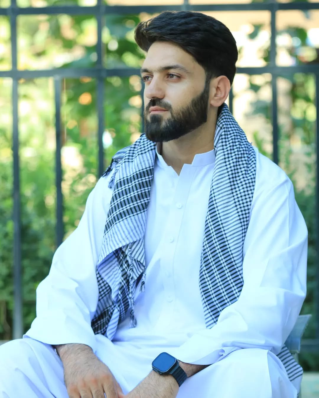
A multidisciplinary team of water engineers, climate scientists, GIS specialists, hydrologists, structural engineers, and urban planners — united by a commitment to evidence-based solutions for Afghanistan's most critical environmental challenges.
When Afghanistan faces its greatest environmental challenges, organizations turn to Chashma-Sar for solutions that work in complex operational environments.
From university leadership to government advisory roles to international research partnerships — bridging academic excellence with practical policy implementation.
Recognized by VoA, The Guardian, RFE/RL, Afghanistan International TV, ToloNews, and 35+ media outlets as Afghanistan's leading voice on climate and environmental issues.
Building Afghanistan's technical capacity through partnerships with iMMAP, UNDP, and leading humanitarian organizations — training 200+ professionals.
Master's in Water Engineering. Former Senior Advisor at the State Ministry for Disaster Management. Published researcher in ACS ES&T Water (Q1, 2024). Google Earth Engine certified practitioner. University department head and academic leader with 12+ years of expertise in water resources, disaster risk reduction, climate change, and satellite intelligence for Central Asia.
Recognized by VoA, The Guardian, RFE/RL, Afghanistan International TV, ToloNews, and 35+ media outlets as Afghanistan's leading voice on climate and environmental issues. Director of Afghanistan's only open-access multi-hazard satellite intelligence platform. Platform Director for the Chashma-Sar GEE Platform built on NASA, ECMWF, and ESA data.
PhD in Water Management from Texas A&M University and PMP certified project management professional. Expert in transboundary water management and policy development for Afghanistan and Central Asia. Brings international research and policy advisory experience to Chashma-Sar's most complex water resources engagements.
Remote Sensing, GIS, Information Management, environmental and natural risk assessment, data analysis, visualization, and infographics. Provides spatial intelligence underpinning Chashma-Sar's hazard mapping, groundwater analysis, and multi-hazard bulletin production across all 34 provinces.
GIS and remote sensing, disaster risk reduction, hydrology, hydraulic structures, and graphic design. Core contributor to Chashma-Sar's hydrological modeling outputs, flood mapping, and disaster preparedness assessments serving UN agencies and humanitarian organizations across Afghanistan.
Spatial analysis and community surveys. Combines urban planning expertise with advanced research data management skills to deliver community-level vulnerability assessments, settlement mapping, and participatory GIS surveys — critical for Chashma-Sar's gender-sensitive climate research programmes.
PhD in Civil Engineering with a Bachelor of Geology, specializing in GIS, Remote Sensing, and environmental risk assessment for water and mining infrastructure. Brings deep technical expertise in water supply infrastructure design, geological assessment, and environmental risk evaluation to Chashma-Sar's engineering portfolio.
Recognized by national and international media as Afghanistan's leading voice on climate change, water resources, and disaster risk. Our president has given over 400 interviews to outlets across the globe.
Whether you need a climate assessment, engineering study, or satellite intelligence — our specialists are ready to deliver solutions for Afghanistan's most critical challenges.