Home / Services
What We Do

Comprehensive Environmental,
Engineering & Surveying Services

Expert solutions for Afghanistan's most complex environmental, engineering, and surveying challenges

01
Research & Analysis

Climate Vulnerability Assessment

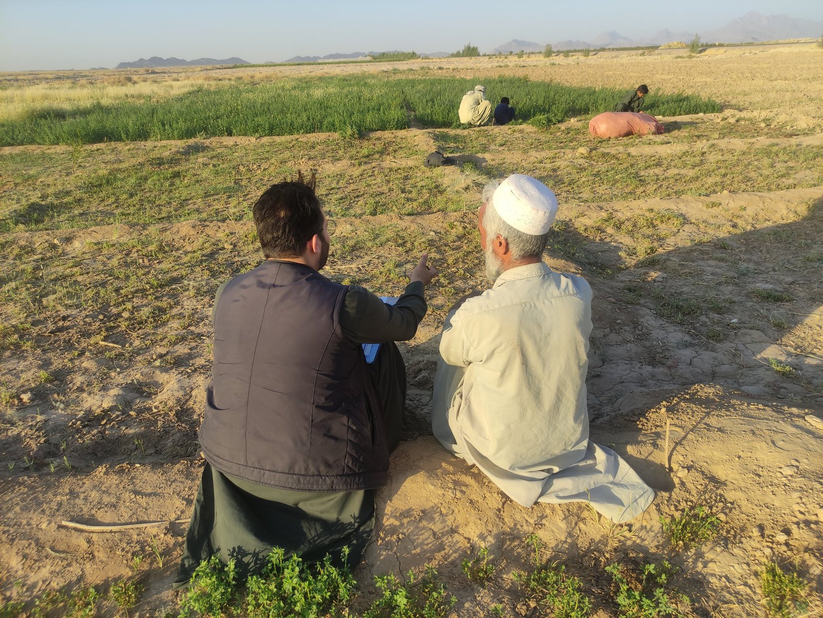
Our climate vulnerability assessments provide comprehensive analysis of climate risks and adaptation strategies using internationally recognized frameworks. We specialize in community-level assessments that inform policy and adaptation planning across Afghanistan.
ArcGIS Pro
Spatial Analysis
Python/R
Statistical Modeling
QGIS
Open Source GIS
Remote Sensing
Satellite Data

IPCC Vulnerability Framework Implementation

We apply the IPCC's vulnerability assessment framework, analyzing exposure, sensitivity, and adaptive capacity at multiple scales. Our assessments integrate climate projections with socioeconomic data to identify the most vulnerable populations and systems.

Our Capabilities
  • Multi-provincial research coordination
  • Gender-sensitive impact analysis
  • Household-level vulnerability mapping
  • Advanced GIS-based decision analysis
  • Climate projection downscaling
  • Participatory assessment methods
  • Cultural competency in Afghan context
  • Integration with development planning
Key Deliverables
  • Comprehensive vulnerability maps and indices
  • Climate risk profiles by sector and region
  • Adaptation strategy recommendations
  • Community-based vulnerability assessments
  • Policy briefs and technical reports
02
Water Resources

Water Resources Management

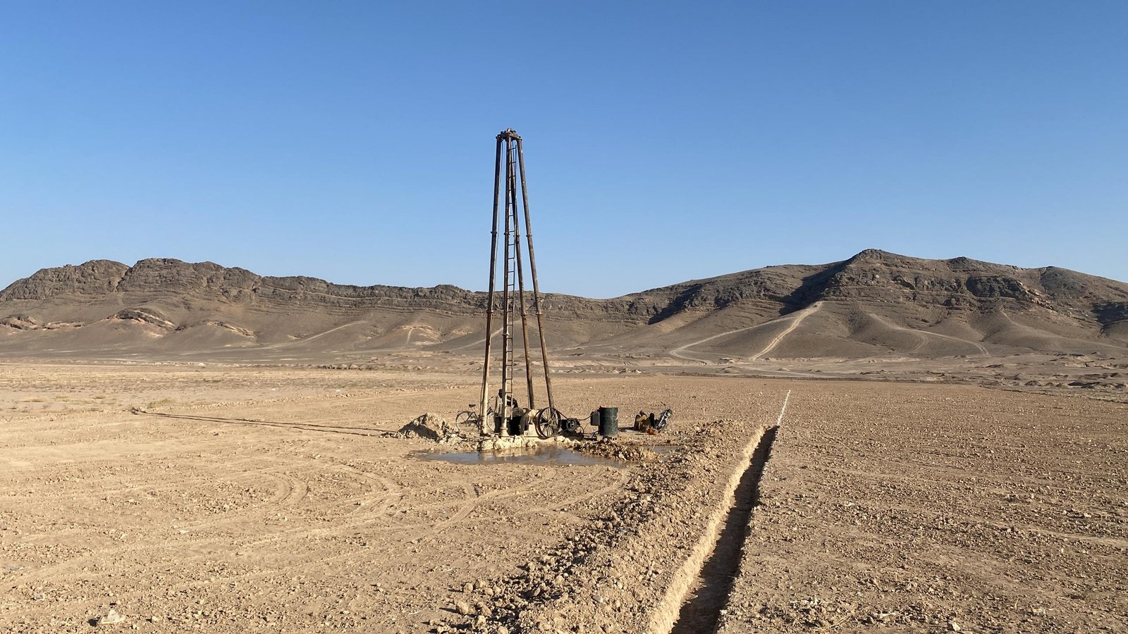
Comprehensive water resource assessment and management services covering both groundwater and surface water systems. We provide technical expertise in hydrogeological mapping, water quality assessment, and sustainable resource planning.

CHIRPS
Precipitation Data
GMS-Modflow
Groundwater Modelling
WEAP
Water Evaluation & Planning
MODIS/GRACE
Satellite Imagery

Multi-Criteria GIS Analysis

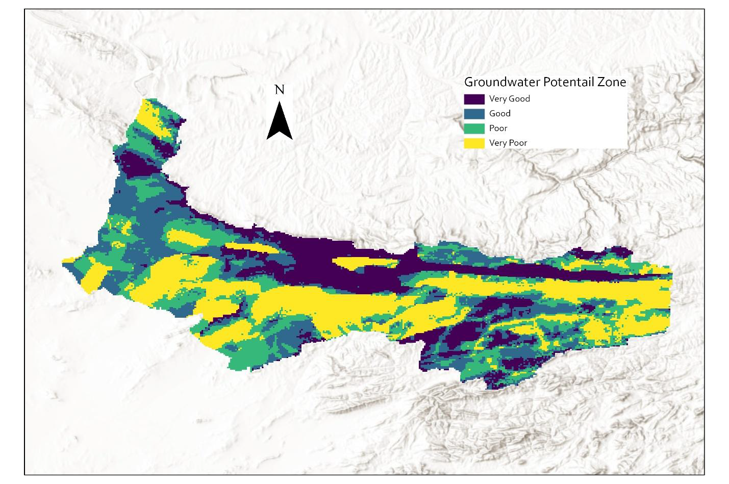
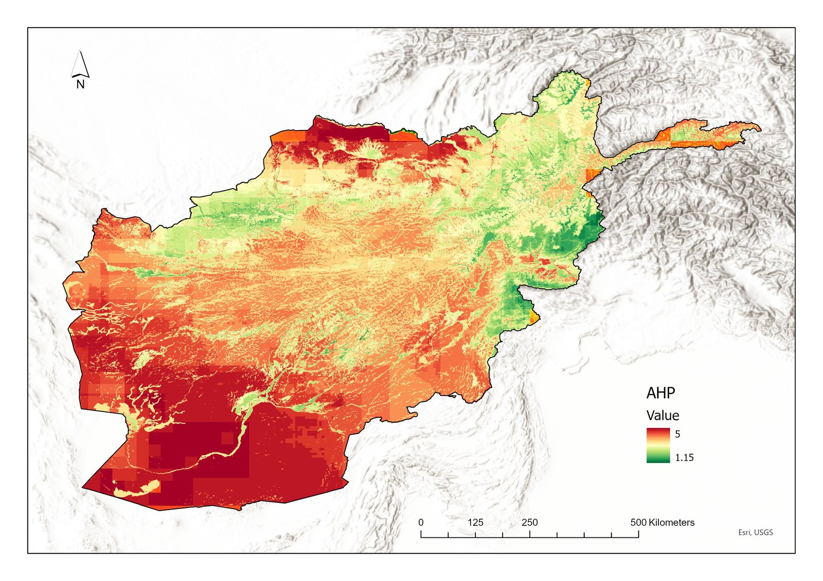
Using AHP (Analytical Hierarchy Process) and MAF (Multi-Attribute Functions) methodologies for groundwater potential mapping. Our approach integrates geological, topographical, climatic, and hydrogeological factors for accurate resource assessment.

Groundwater Services
  • Potential zone mapping and well siting optimization
  • Aquifer characterization and yield assessment
  • Hydrogeological modeling and simulation
  • Groundwater flow analysis
Surface Water Services
  • River basin analysis and modeling
  • Watershed management planning
  • Stream flow assessment
  • Surface water-groundwater interaction studies
Technical Capabilities
  • Remote sensing data integration
  • High-resolution potential mapping
  • Water quality monitoring protocols
  • Treatment system design
  • Bio-sand filter implementation
  • Community water system development
  • Sustainable operation frameworks
  • Performance evaluation system
03
Risk & Safety

Natural Hazard Assessment

Comprehensive natural hazard risk assessment covering floods, droughts, avalanches, landslides, and multi-hazard scenarios. We provide scientific analysis and practical solutions for hazard mitigation and preparedness.

GIS Analysis
Risk Mapping
Palmer Index
Drought Mapping
Statistical Methods
Probability Analysis
EPA-SWMM
Flood Modeling

Multi-Hazard Risk Assessment Framework

Our approach integrates hazard identification, vulnerability analysis, and risk evaluation using probabilistic and deterministic methods. We combine historical data analysis with climate projections for forward-looking risk assessment.

Flood Risk Assessment
  • Hydrodynamic modeling and flood mapping
  • Return period analysis and frequency studies
  • Urban flood risk assessment
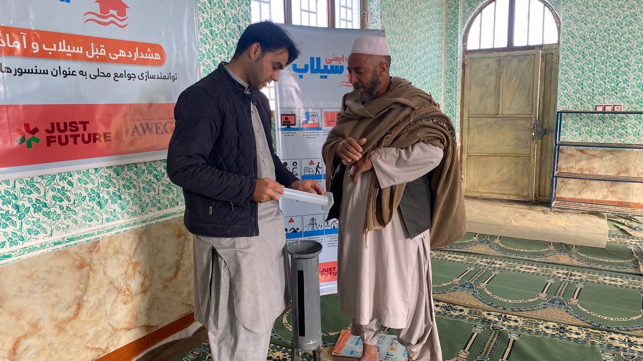
  • Flash flood early warning systems
Drought Monitoring & Assessment
  • SPI, NDVI & Palmer Drought Severity Index mapping
  • Agricultural drought impact analysis
  • Hydrological drought assessment
  • Drought early warning systems
Hazard Types Covered
  • Riverine and flash flooding
  • Meteorological and agricultural drought
  • Snow avalanches and ice hazards
  • Landslides and slope instability
  • Extreme weather events
  • Multi-hazard risk scenarios
  • Climate-induced hazards
  • Cascading hazard effects
04
Engineering

Structural Assessment & Earthquake Resilience

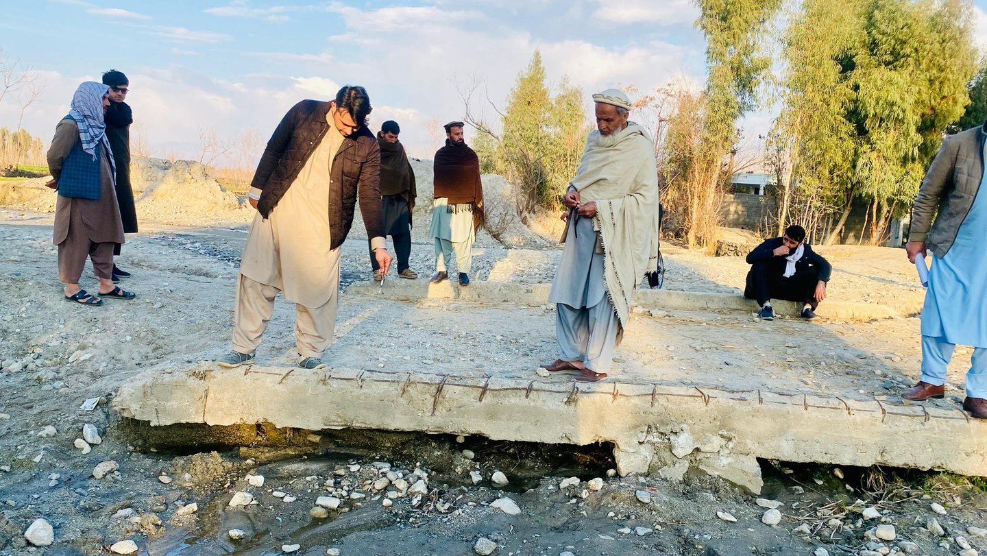
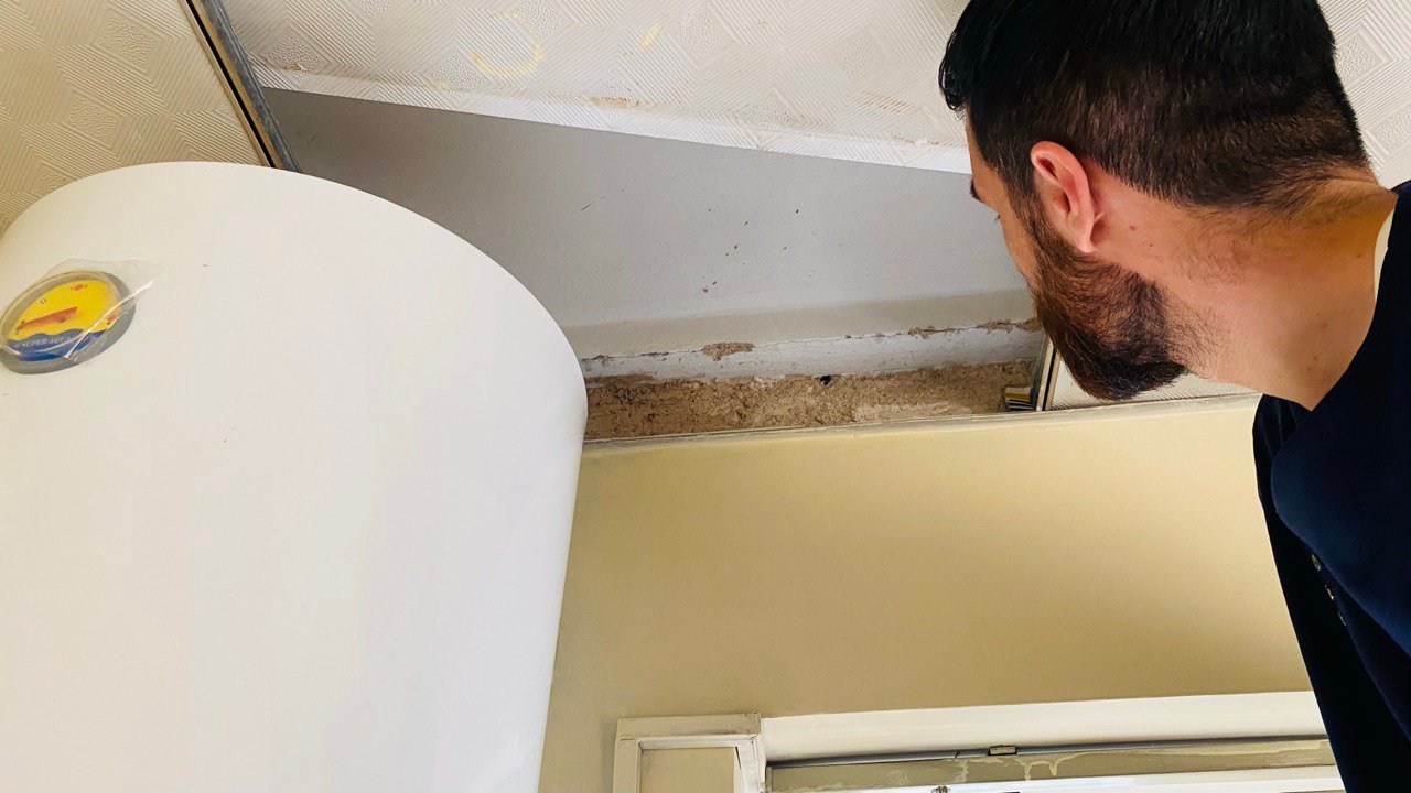
Professional structural assessment services focused on building resilience against seismic hazards. We provide comprehensive evaluation of existing structures and recommendations for earthquake-resistant design and retrofitting.

Civil 3D
3D Modeling
Engineering Analysis
Structural Calculations
Field Assessment
Site Surveys
AutoCAD
Structural Drawings

Seismic Risk Assessment Approach

Our methodology combines structural engineering principles with seismic hazard analysis to evaluate building vulnerability. We assess structural systems, foundation conditions, and soil-structure interaction for comprehensive risk evaluation.

Assessment Services
  • Detailed structural condition surveys
  • Seismic vulnerability assessments
  • Foundation and geotechnical evaluation
  • Non-structural component assessment
Design & Retrofitting
  • Earthquake-resistant design recommendations
  • Structural strengthening strategies
  • Retrofit implementation planning
  • Performance-based design approaches
Technical Expertise
  • Reinforced concrete assessment
  • Masonry structure evaluation
  • Steel structure analysis
  • Traditional construction assessment
  • Foundation design and analysis
  • Seismic code compliance review
  • Cost-benefit analysis
  • Implementation supervision
05
Hydrological Modeling

Advanced Hydrological Modeling

State-of-the-art hydrological modeling using international standard methodologies for comprehensive water resource analysis, flood forecasting, and drought management.

Integrated Modeling Approach

We utilize multiple modeling platforms to provide robust hydrological analysis, selecting the most appropriate tools based on project requirements, data availability, and specific watershed characteristics.

Modeling Capabilities
  • Rainfall-runoff modeling and stream flow forecasting
  • Flood frequency analysis and inundation mapping
  • Groundwater flow and aquifer simulation
  • Drought assessment and water scarcity analysis
  • Climate change impact on water resources
  • Urban hydrology and stormwater management
Implementation Approach
  • RS MINERVE — Alpine hydrology
  • HEC-RAS — River hydraulics
  • HEC-HMS — Rainfall-runoff
  • WEAP — Water planning
  • SWMM — Urban drainage
  • GMS MODFLOW — Groundwater
  • J2000 — Watershed modeling
  • GSM-SOCONT, Hydrobricks, iRIC, IFAS
RS MINERVE
Alpine Hydrology
HEC-RAS
River Hydraulics
HEC-HMS
Rainfall-Runoff
WEAP
Water Planning
EPA-SWMM
Urban Drainage
GMS Modflow
Groundwater
J2000
Watershed Modeling
Hydrobricks
iRIC · IFAS
06
Field & Engineering

Survey & Engineering Services

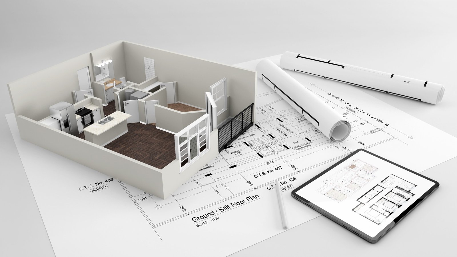
Professional land surveying and engineering services using advanced instruments and technologies for accurate spatial data collection, topographic mapping, and construction support across Afghanistan.

AutoCAD/Civil 3D
Design & Modeling
Digital Level
Elevation Surveys
Total Station
Precision Surveying
GPS/GNSS
Global Positioning

Precision Survey Methodology

Our methodology combines structural engineering principles with seismic hazard analysis to evaluate building vulnerability. We assess structural systems, foundation conditions, and soil-structure interaction for comprehensive risk evaluation.

Surveying Services
  • Topographic surveying and mapping
  • Construction layout and as-built surveys
  • Boundary demarcation and property surveys
  • Elevation profiling and contour mapping
  • GPS/GNSS positioning and control networks
  • Digital terrain model generation
Engineering Services
  • Civil engineering design and analysis
  • Construction supervision and quality control
  • Engineering feasibility studies
  • Infrastructure planning and assessment
Equipment & Technology
  • Total Station operations
  • GPS/GNSS positioning systems
  • Digital Level surveying
  • Theodolite measurements
  • AutoCAD and Civil 3D software
  • GIS integration and mapping
  • UAV/drone surveying capabilities
  • Mobile data collection systems
07
Data & Training

Data Analysis & Capacity Building

Advanced statistical analysis, survey research, and professional training programs that build technical capacity across Afghanistan's humanitarian and development sectors.

Integrated Analysis & Training Framework

We combine rigorous data analysis methodologies with hands-on capacity building, ensuring that organizations not only receive high-quality analytical products but also develop internal technical capabilities.

Data Analysis Services
  • Statistical analysis using SPSS, R, and Python
  • Baseline and endline survey analysis
  • Data visualization and dashboard creation
  • Geographic and demographic disaggregation
  • Multi-stakeholder presentation materials
  • Policy briefs and technical reports
Capacity Building Programs
  • GIS and remote sensing training (ArcGIS, QGIS)
  • Statistical analysis workshops
  • Survey design and data collection protocols
  • Emergency response technical training
  • Database management and information systems
  • Google Earth Engine applications
Training Expertise
  • 200+ professionals trained
  • UN cluster coordination support
  • INGO and NNGO capacity development
  • Academic instruction experience
  • iMMAP — Lead IM/GIS trainer
  • Field enumerator training
  • Community-level technical education
  • Customized training modules
08
Community Programs

Community-Based Disaster Risk Management

Empowering communities with emergency planning, early warning systems, participatory risk mapping, and capacity building programs to build local resilience against natural hazards.

Community-Centered Resilience Approach

We design and implement Community-Based Disaster Risk Management (CBDRM) programs that empower local populations to understand their risks, prepare for emergencies, and respond effectively when disasters strike. Our approach centers community knowledge and ensures sustainability beyond the project period.

Community Programs
  • Community emergency response planning
  • Evacuation route mapping
  • Participatory disaster risk mapping
  • Volunteer response team formation and training
  • Early warning system community integration
  • School safety programs
Institutional Partners
  • iMMAP — Information Management
  • UNDP — Capacity development
  • OCHA — Humanitarian coordination
  • ANDMA — Disaster management authority
  • Provincial governments
  • NGO and INGO partners

Ready to Start a Project?

Submit a technical enquiry and our team will respond with a tailored proposal within 48 hours.

Request a Proposal → Meet Our Team